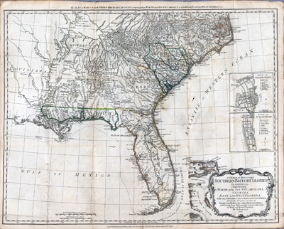
"A General Map of the Southern British Colonies in America, comprehending North and South Carolina, Georgia, East and West Florida with the Neighbouring Indian Countries," Bernard Romans, published in London in 1776. (Hargrett Rare book & Manuscript Library, University of Georgia) |
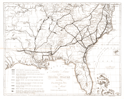
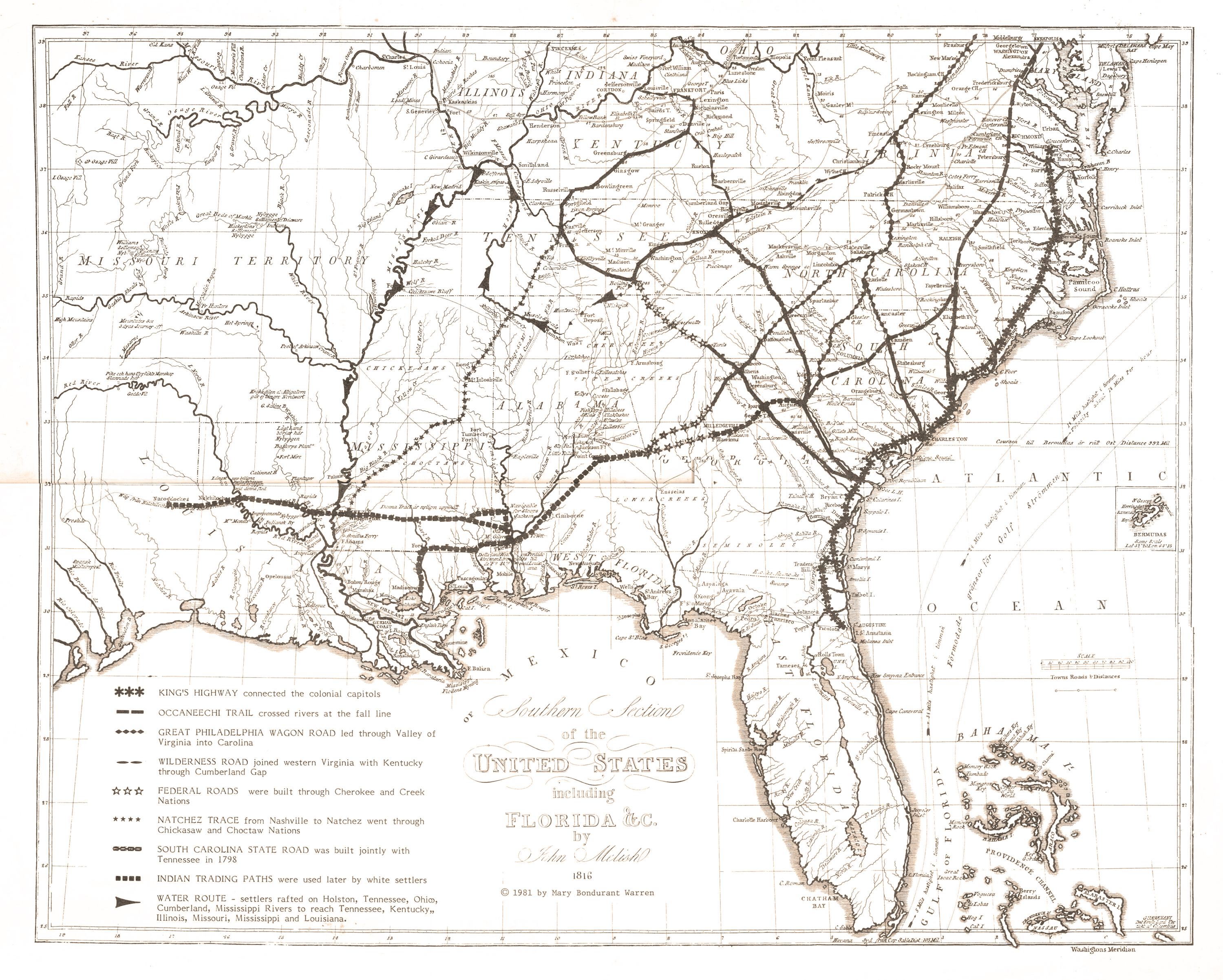
"Southern Section of the United States including Florida &c," John Melish, 1816, annotated by Mary Bondurant Warren to locate the major roads used by early nineteenth-century pioneers. (Georgia Department of Archives and History) |
Baldwin and Craddock's "Georgia with parts of North & South Carolina, Tennessee, Alabama & Florida," 1833, published by the Society for the Diffusion of Useful Knowledge. (Library of Congress, Geography and Map Division) |
Samuel Breese and Sidney E. Morse, "Georgia," 1842, published by Harper and Brothers in 1845. (David Rumsey Map Collection) |
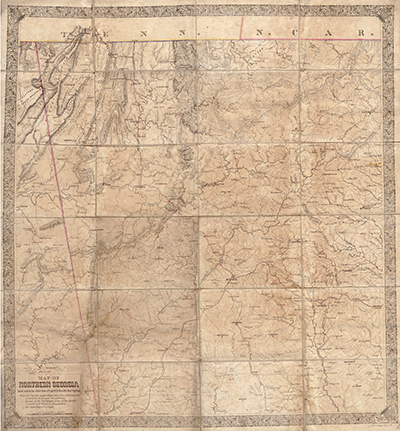
Gen. W. T. Sherman's "Map of Northern Georgia," printed in Chattanooga in 1864. (Library of Congress, Geography and Map Division) |
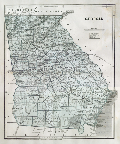
"Railroad and County Map of Georgia," George F. Cram, Chicago, 1883. (Georgia Archives) |

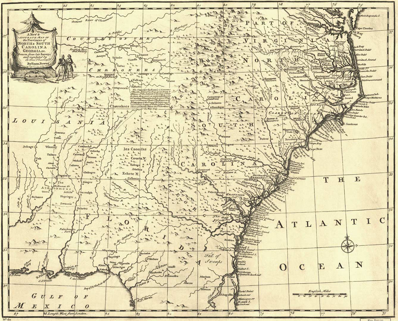
Emanuel Bowen's "A new & accurate map of the provinces of North & South Carolina, Georgia &c.," 1751. (Library of Congress, Geography and Map Division) |
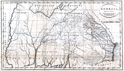
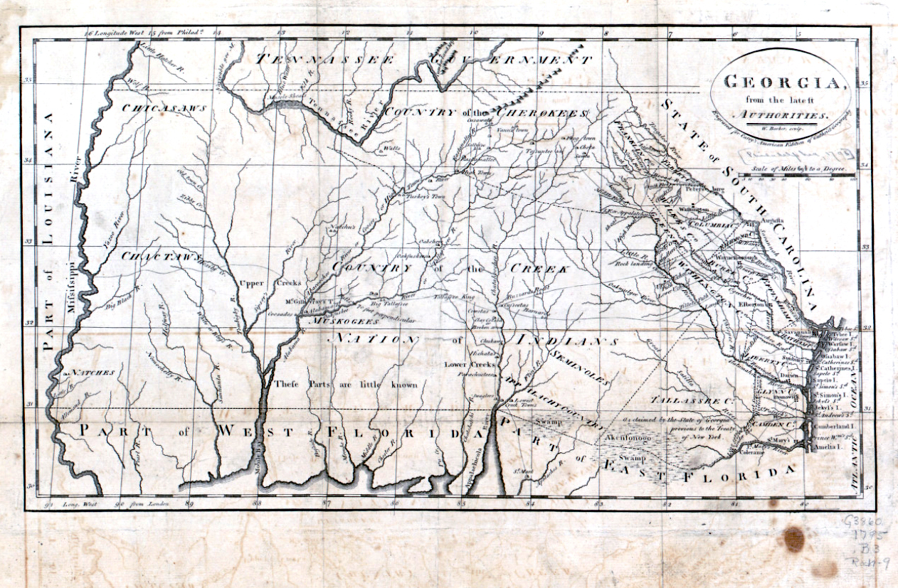
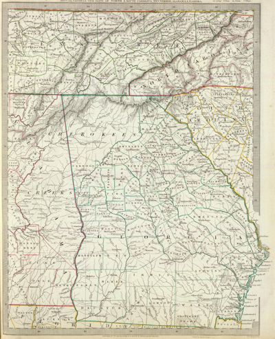
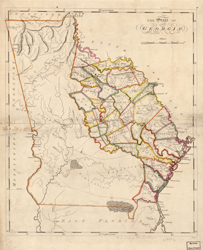
W. Barker's "Georgia, from the latest authorities," 1795. (Library of Congress, Geography and Map Division) |
" The State of Georgia, General Atlas, Improved And Enlarged; Being A Collection Of Maps Of The World And Quarters, Their Principal Empires, Kingdoms, &c. Containing...," published By M. Carey And Son, 1818. (David Rumsey Map Collection) |
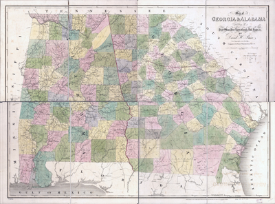
"Map of Georgia & Alabama exhibiting the Post Offices, Post Roads, Canals, Rail Roads, &c.," David H. Burr, from the American Atlas, published in London by J. Arrowsmith, 1839. (Library of Congress, Geography and Map Division) |
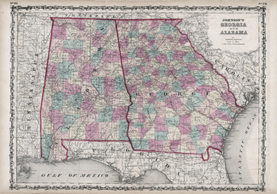
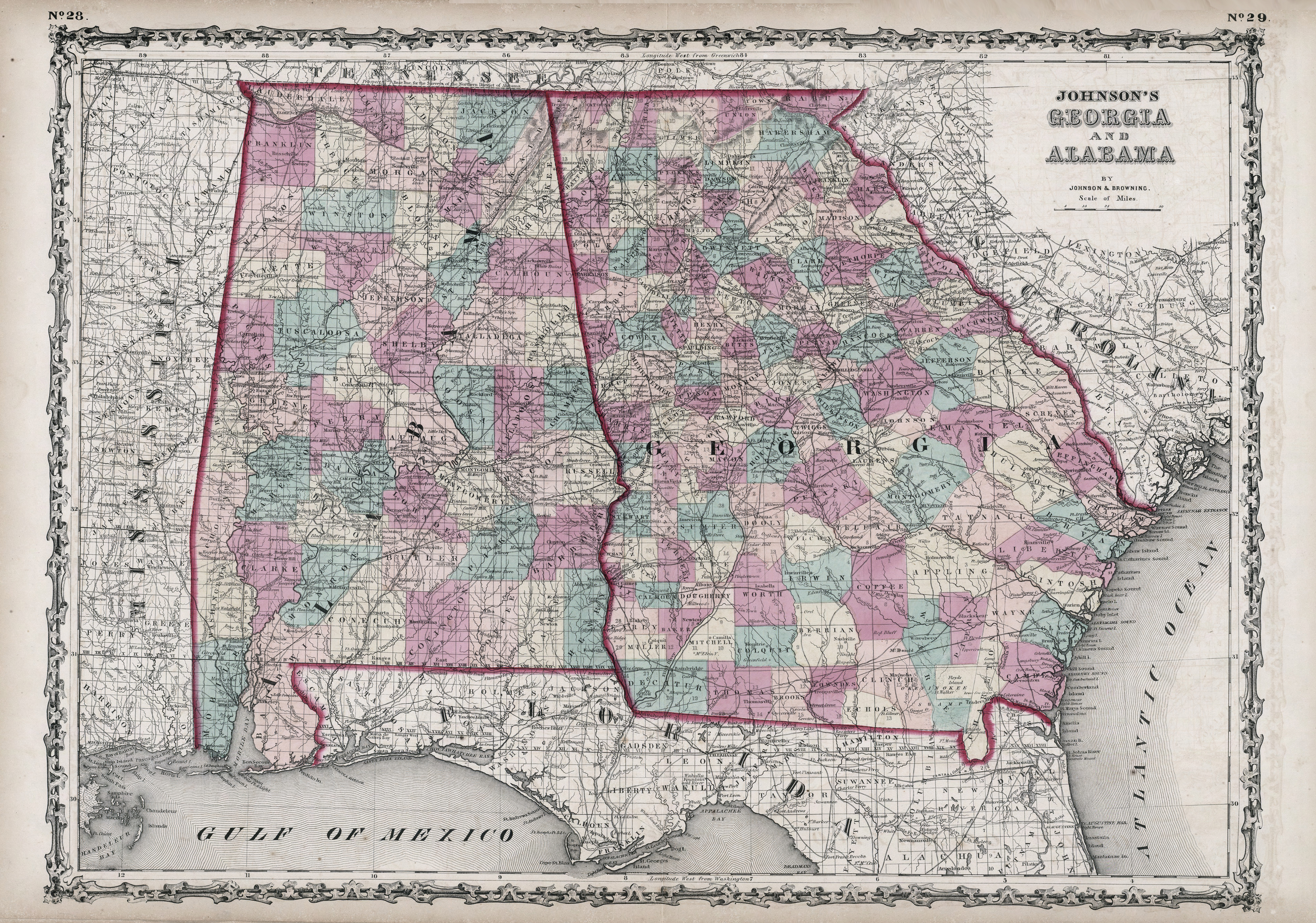
"Johnson's Georgia and Alabama," from Johnson's New Illustrated Family Atlas, Johnson & Browning, 1860. (David Rumsey Map Collection) |
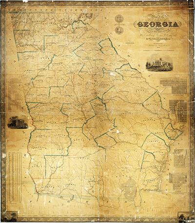
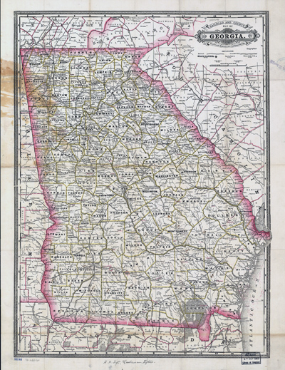
"Map of the state of Georgia compiled under the direction of His Excellency George W. Crawford," William G. Bonner, 1847. (Georgia Archives) |
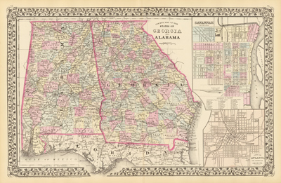
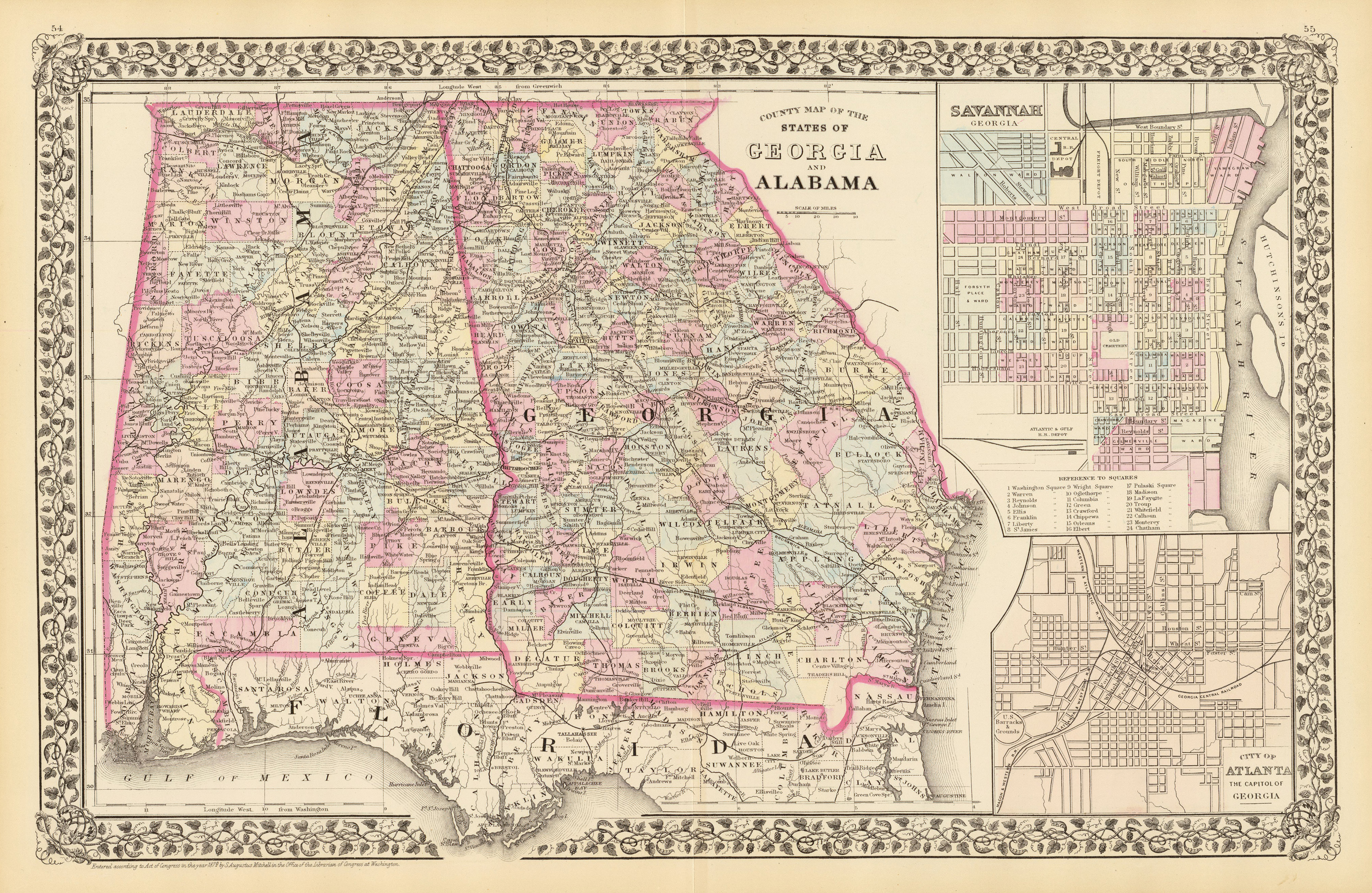
"County map of the states of Georgia and Alabama. (with) Savannah, Georgia. (with) City of Atlanta, the capitol of Georgia," S. Augustus Mitchell, 1879. (David Rumsey Map Collection) |
|
|